Completed · 2025·West MacDonnell Ranges · Australia · NT
Larapinta Trail
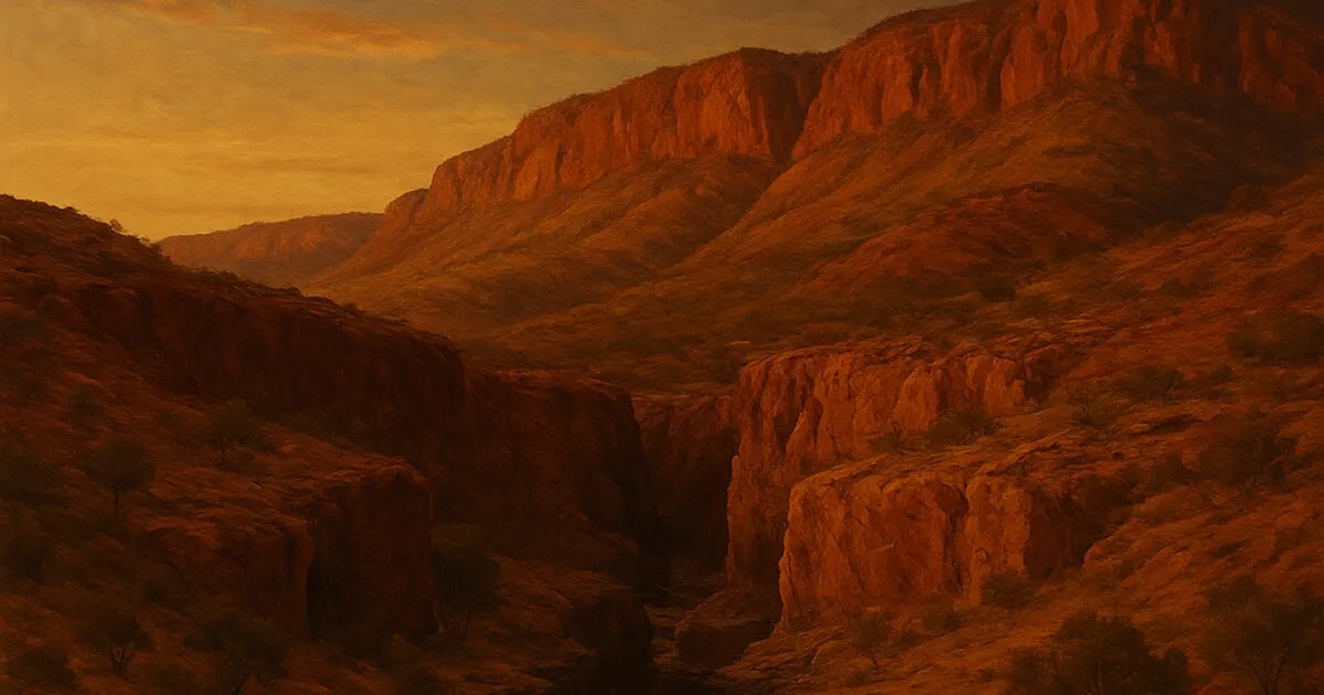
End to end along the spine of the West MacDonnell Ranges: Alice Springs Telegraph Station west to Mt Sonder. Red quartzite ridgelines, hidden gorges and waterholes, and the desert sky at night.
- Mt Sonder sunrise
- Counts Point ridge
- Ormiston Gorge
- Standley Chasm
▸ The journey
- Telegraph Station, 580 metres, Day 1. Alice Springs start.
- Simpsons Gap, 620 metres, Day 2
- Standley Chasm, 680 metres, Day 4
- Hugh Gorge, 750 metres, Day 6
- Ellery Creek, 640 metres, Day 8. Big waterhole.
- Ormiston Gorge, 720 metres, Day 11
- Redbank Gorge, 780 metres, Day 13
- Mt Sonder, 1,380 metres, Day 14. Sunrise on the final summit.
Telegraph Station
Simpsons Gap
Standley Chasm
Hugh Gorge
Ellery Creek
Ormiston Gorge
Redbank Gorge
Mt Sonder
- 223 km
- distance
- 14 days
- on trail
- +6,500 m
- ascent
- 1,380 m
- high point
elev 580–1,380 m · 8 waypoints